


Nautical Charts are published to cover the Japanese coasts, Pacific and Indian Oceans and their adjacent seas.
They are mainly constructed on Mercator's projection, and most of those charts covering the waters around Japan at a scale smaller than 1:100,000 are compiled at the scale based on the length of the longitude at Lat. 35 degrees.
Legends of the prefix letters in Chart No.
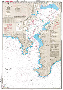
W: WGS Chart:
The World Geodetic System 84 (WGS-84) charts
JP: Chart in English:
The charts in English and on WGS-84 published in the same area and size of the W series.
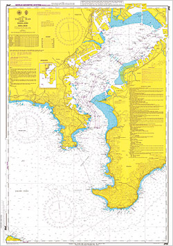
INT: International Chart:
Published in accordance with Technical Resolutions of the Internationl Hydrographic Organization (IHO)
Member states of the IHO including Japan share the responsibility of producing INT Charts, on which intentionally standardized symbols, abbreviations, chart numbers, etc. are used. INT Charts other than those under the responsibility of Japan are reprinted from those produced by foreign nations concerned.
Mercator's projection is used for those charts. The scale of INT Charts is either 1:3,500,000 or 1:10,000,000 at the reference latitude of 22.5 degree or 0 degree, respectively.
- e.g.: W1004B(INT510)
- Japanese Chart No. W1004B and International Chart No.510
F: Fisheries Chart:
Fishing zones and other fishery information are indicated.